_Where are the best walks in Suffolk
Great coastal and country walks in Suffolk
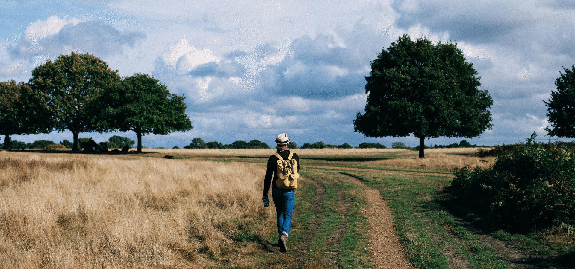
Suffolk is a wonderful place for walking in peaceful, rolling countryside, in serene woodlands and on unspoiled coast. It’s one of the flattest counties in the UK. That doesn’t make it boring – it means you can enjoy fabulous views and big skies in serene landscapes.
For hikers, Suffolk provides an abundance of opportunities to connect to nature and history simultaneously. With diverse habitats ranging from shingle beaches to salt marshes by the North Sea, the banks of the slow-moving River Stour in idyllic Dedham Vale, famously painted by John Constable, or the quiet paths of Thetford Forest, there’s a sense of timelessness in every step.
We’ve chosen some of our favourites that take you around the county, and give you a flavour of Suffolk’s…

Snape Maltings
The Sailor’s Path
This six-mile walk between Snape Maltings to coastal Aldeburgh is along quiet riverside paths and through heathland. Walking by the River Alde, you’ll take in reed beds, shiny mudlfats and marshes. Look out for otters and listen for nightjars, woodlark and yellowhammers as the path cuts through Snape Warren Nature Reserve. Depending which way you go, finish with fish and chips on Aldeburgh High Street or lunch at The Plough and Sail.

Bridge Cottage at Flatford
Flatford and Constable Country walking trail
A four-mile or seven-mile walk by the banks of the River Stour on the Suffolk-Essex border starting and finishing at Flatford Mill. As well as seeing Willy Lott's Cottage you’ll be able to put yourself in the scenery of one of the most famous paintings in British art, John Constable’s The Hay Wain. Enjoy riverside meadows and woodlands on this popular walk in the Dedham Vale National Landscape, taking in the 88-acre RSPB Cattawade Marshes nature reserve.

Sutton Hoo to the River Deben
Sutton Hoo Ferry Cliff Walk
Starting at iconic Sutton Hoo, the burial site of Anglo Saxon King Rædwald discovered in 1939, this 3-mile circular route takes in woodlands, open fields and stunning views of the River Deben and Woodbridge with its historic white tide mill.
Begin at the entrance to the site, head past the grassy burial mounds and through the woods to the river view. Imagine a time when Vikings raided the coast here and Rædwald sent his boats out to intercept them.

Rendlesham Forest
Rendlesham Forest UFO Trail
Within the Suffolk Heath and Coast National Landscape, Rendlesham Forest’s claim to fame is the Boxing Day 1980 spotting of strange lights by several members of the US Air Force based at RAF Woodbridge. A local resident also reported seeing a mushroom-shaped object in the air on the same evening. The deputy base commander reported it as a UFO sighting. There are many theories about what the lights were, but aliens haven’t been discounted.
This five-kilometre trail through the forest offers five stopping-off points that tell you more about the incident, thought to be the most significant UFO sighting in Britain.

Dunwich Heath
Dunwich Heath
This five-mile circular walk on Dunwich Heath takes in heather fields, coastal views, abundant birdlife and a rich history. Start at Dunwich Heath, opposite the coastguard cottages, where the holiday cottage parking is, and head north along the cliffs.
The trail takes you to Dunwich village, where you could stop off for a pint or learn more about Suffolk’s Lost City. You’ll go past the ruins of Greyfriars Abbey, the last building from what was once one of medieval England’s biggest ports.
Next, you’ll skirt the border of Mount Pleasant Farm and then return to the coastguard cottages. Look out for Dartford warblers and red deer. The main heather bloom appears between late July and September.
Herringfleet Smock Mill
A three-mile circular walk that starts at the Herringfleet Hills car park, where you begin in an area of grass heath surrounded by woodland and bracken. You’ll soon arrive at the mill itself, which is actually a windpump for water as most of these buildings in the Broads National Park are.
At Herringfleet marshes there’ll be cattle grazing by the River Waveney and you might see wading birds such as Snipe, Lapwings and Redshanks. From the moorings you’ll see the 100-year-old swing bridge on the Norwich-Lowestoft rail line. The quintessentially English scene was actually used in Mike Leigh’s 2014 film Mr Turner’s opening sequence to suggest a Dutch landscape.
You’ll arrive at Somerleyton, home to Somerleyton Hall, and then head back to the car park where you can pop into the Dukes Head pub for refreshment.
Alton Water, Shotley Peninsula
Set between the picturesque villages of Holbrook, Stutton and Tatingstone, Alton Water offers an eight-mile circular walk of the reservoir. Suffolk’s largest lake (it’s man-made) has meadows, broad leaf woodlands, marshes, ponds, picnic sites, wildflowers and bird hides.
Starting at Alton Water’s car park near the Royal Hospital School, follow the well-marked footpath. Most of the path is level but there are some hilly bits as well. The White Horse pub in Tattingstone is a great place to stop for a pint.

Wool Town Clare
Clare, Pentlow and Cavendish Wool Towns
A seven-mile walk along the Stour Valley on a gentle and undulating trail that takes in a changing patchwork of woodland and farmland fringed with hedgerows. Doubtless you’ll see sheep, the fuel that drove this area’s medieval wealth and left behind picturesque villages and magnificent churches.
Starting at delightful Clare, Suffolk’s smallest town, the route links three of the area’s most charming churches, winding its way along the Stour Valley to Cavendish and Pentlow, over the border in Essex, before returning on the Stour Valley Path high above the river.

Walberswick village
Southwold and Walberswick
A six-mile circular walk from a lovely seaside town to a charming seaside village and back. Beginning on the seafront at Southwold by the iconic Victorian Pier, follow the Suffolk Coastal Path south past Gun Hill and the Denes to Blackshore Harbour. Walk alongside the River Blyth and cross at the footbridge and head through the heather and gorse of Walberswick Common to the village, where you could stop for refreshments at The Anchor.
Head to the harbour and walk the path along the river or take the rowing boat ferry. Rather than going back along the beach, head towards The Harbour Inn and take the path through Reydon Marshes and Tinker's Marshes to Southwold Common and back to the seafront.

River Deben at Ramsholt
Felixstowe Ferry to Bawdsey
A new 11-mile stretch of the King Charles III England Coast Path, which once completed, will be a 2,700-mile national trail around the whole of the English coast and the world’s longest walking trail.
The new route takes in the Deben Estuary through Woodbridge and opens up one of the region's most beautiful saltmarsh landscapes. It fills a significant gap in Suffolk’s coastal access network between Ramsholt and Bawdsey, where previously there was no public access along the estuary.
A number of bridges, walkways and steps have been renovated to allow visitors to enjoy the area on foot.
The trail takes walkers past various settlements, including the historic market town of Woodbridge, offering sweeping estuary views and enhancing connections between key coastal areas. This section joins up with the existing open stretch of the Suffolk Coast Path from Shotley Gate to Felixstowe Ferry, along the Orwell Estuary.
The path explores the Deben Estuary’s unique landscape, home to more than 40 per cent of Suffolk’s remaining saltmarsh. Ramblers can enjoy the diversity of the coastline from sheltered estuary banks to agricultural land, passing through Martlesham Wilds Nature Reserve and alongside the archaeological treasures of Sutton Hoo.
A seasonal ferry operates between Bawdsey and Felixstowe Ferry from May to September, creating circular walking opportunities. The route passes through the Suffolk and Essex Coasts and Heaths National Landscape.
Useful links
Walking trails at High Lodge | Forestry England
Plan your stay in Suffolk
All your questions about Suffolk answered, plus advice on how to plan your trip and things to do.
Read moreStay In Touch
Sign up for our newsletter for Suffolk holiday ideas, places to stay, seasonal guides and local events. We’ll share inspiration for days out, coastal breaks and countryside escapes, plus occasional highlights worth bookmarking. No spam, just helpful updates when there’s something good to share.
